


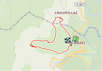

15.3 km | 24 km-effort

User


FREE GPS app for hiking
 SityTrail
IGN / Geographical institutes
SityTrail World
The world is yours!
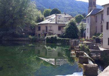
Trail Walking of 4.2 km to be discovered at Occitania, Lozère, Cans et Cévennes. This trail is proposed by Dominique48.
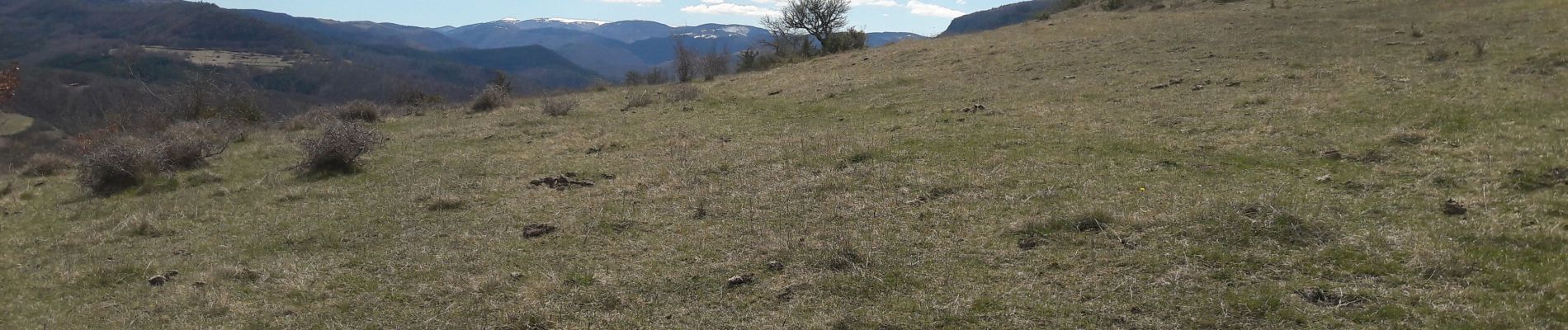
Vue sur le mont AIGUAL et le causse MEJEAN


Walking

Walking
On foot
Walking
Walking
Walking

Walking
Walking
Walking